While scrolling through Facebook, I came across an Inquirer article about preserving Philippine historical markers digitally on Wikidata and Wikimedia Commons. The data was then fetched via APIs and plotted on a map. It’s hosted for free on GitHub and uses OpenStreetMap with Leaflet.js to render and plot the data.
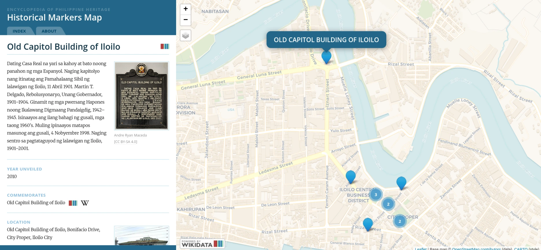
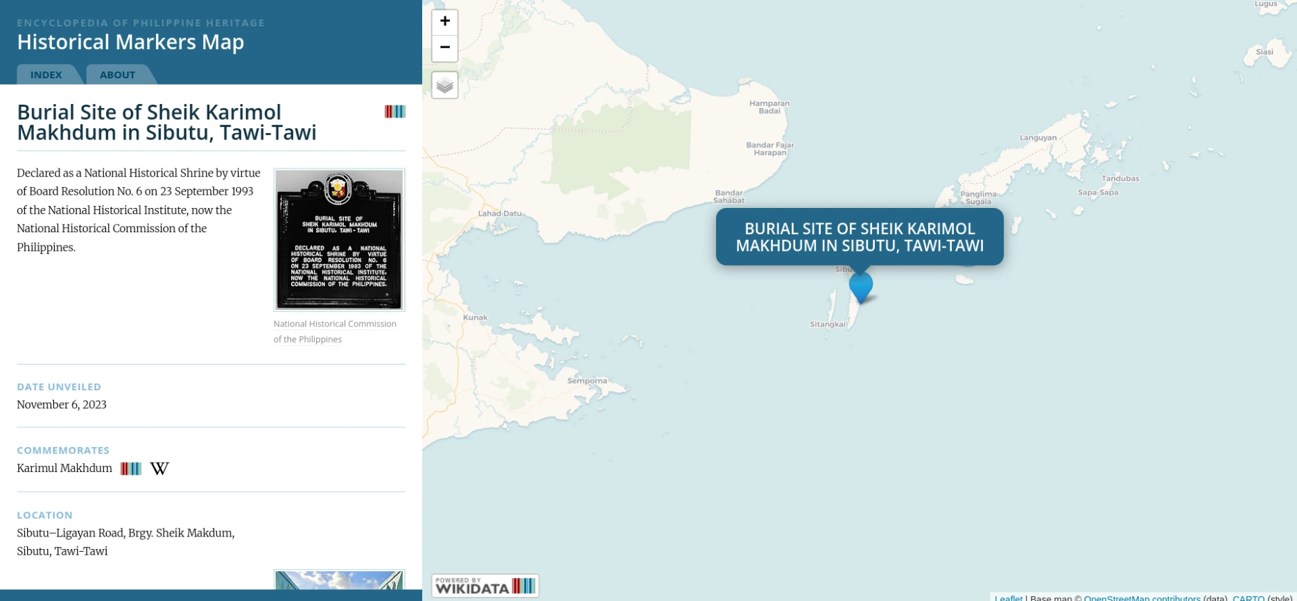
In the province of Iloilo, a total of 53 historical markers were plotted. That may not be the exact count, as the NHCP provides incomplete and out-of-date data on its website. I didn’t realize there were more markers outside Iloilo; the NCR has nearly 400 of them! A few markers go as far as Tawi-Tawi, which is a boat ride away to Sabah, Malaysia.
This project has been going strong for 10 years and I hope it stays that way for years to come. As of writing, they need volunteers to photograph undocumented markers and upload them to Wikimedia Commons. I would like to contribute to the photos but that depends on where my travels take me. I’ll be checking their website from time to time for updates.